Who operates it
- GEONET (GNSS Earth Observation Network) is operated by the Geospatial Information Authority of Japan (GSI).
- It is one of the largest continuously operating GNSS networks in the world.
Availability & access
- GEONET data is primarily publicly available for academic, scientific, and governmental use.
- Real-time access for professional applications is subscription-based, while RINEX data for post-processing can often be downloaded freely.
Coverage & scale
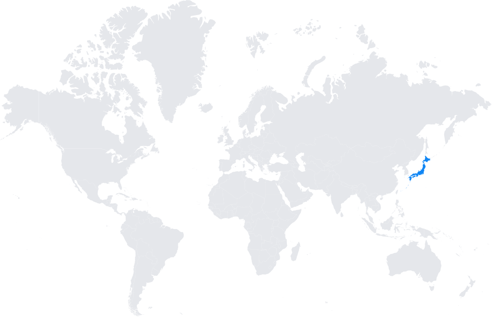
- Over 1,300 permanent stations across Japan, with extremely dense coverage.
- Integrated into the International GNSS Service (IGS) and global reference frameworks.
- Provides near-real-time monitoring of crustal movements in one of the most seismically active regions on Earth.
Typical use cases
- National geodetic control and cadastral surveying.
- Infrastructure projects requiring centimeter-level accuracy.
- Scientific research in seismology, tectonics, and volcanic monitoring.
- Disaster management and early warning systems for earthquakes and tsunamis.
How it’s used in practice
- Surveyors and engineers access real-time RTK corrections through GEONET subscriptions.
- Scientists and universities download GEONET RINEX files for research and post-processing analyses.
Notes
- GEONET is internationally recognized as a critical scientific and geodetic infrastructure.
- It plays a central role in Japan’s earthquake and disaster preparedness strategy.
Coverage Map