Who operates it
- PositioNZ-RT is operated by Toitū Te Whenua Land Information New Zealand (LINZ), the national mapping and land authority.
- It is the official CORS network supporting New Zealand’s geodetic reference system.
Availability & access
The service is free of charge.
Provides real-time GNSS corrections via NTRIP as well as downloadable RINEX files for post-processing.
Coverage & scale
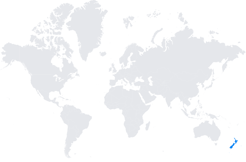
- Nationwide coverage with a network of reference stations across both the North and South Islands.
- Integrated into international systems such as the International GNSS Service (IGS) and aligned with the International Terrestrial Reference Frame (ITRF).
Typical use cases
- Cadastral and engineering surveying.
- Infrastructure development, including transport, utilities, and construction projects.
- Scientific monitoring of tectonic activity, earthquakes, and crustal deformation.
- Environmental and climate studies, including sea-level rise and land subsidence.
How it’s used in practice
Surveyors connect GNSS rovers to the PositioNZ-RT NTRIP service for centimeter-level real-time corrections.
Researchers download RINEX data for geodetic, geophysical, and environmental studies.
Notes
- New Zealand’s location on the Pacific “Ring of Fire” makes PositioNZ-RT vital for earthquake and tectonic monitoring.
- It plays a central role in maintaining the New Zealand Geodetic Datum (NZGD2000).
Coverage Map