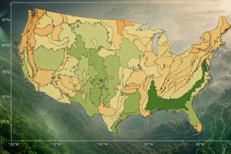
Meta and the World Resources Institute have introduced a major update to their global forest mapping technology, using the DINOv3 artificial intelligence model to estimate tree canopy height at meter-level resolution from optical satellite imagery.
The new Canopy Height Map version 2, known as CHMv2, was detailed in a study published by Scientific Data on July 28, 2026. The system is designed to improve the measurement of forest structure in regions where detailed airborne laser scanning data is unavailable or too expensive to collect at scale.
CHMv2 converts two-dimensional satellite images into estimates of three-dimensional canopy height. Its developers say the updated model provides more accurate results, better represents individual gaps and forest edges, and reduces the systematic underestimation of tall trees found in earlier global products.
DINOv3 Satellite Vision Model
At the center of CHMv2 is DINOv3, Meta’s self-supervised computer vision model. The version used for the project was pretrained on SAT-493M, a large dataset containing geographically diverse satellite imagery.
Rather than relying entirely on manually labeled images, DINOv3 learns visual patterns from large volumes of unlabeled data. It can identify subtle relationships between canopy height and visible features such as crown shape, shadow length, texture, and spatial structure.
A convolutional decoder then translates the features extracted by DINOv3 into estimated canopy heights. The decoder was trained using canopy height models derived from airborne laser scanning, which remains one of the most accurate methods for measuring vertical forest structure.
Improved Canopy Height Accuracy
According to Meta, the coefficient of determination for the updated model increased from 0.53 with the previous version to 0.86 with CHMv2. This indicates a much stronger relationship between the model’s predictions and the reference height measurements used for evaluation.
The improvement is particularly important in mature forests. Many satellite-derived canopy products perform reasonably well in low and medium-height vegetation but increasingly underestimate height as trees become taller.
CHMv2 addresses this problem through a revised loss function and a sampling strategy tailored to the uneven distribution of canopy heights. The training dataset was also expanded with more geographically diverse lidar coverage, helping the model operate more consistently across tropical, temperate, and boreal environments.
The research team validated the system against independent airborne laser scanning datasets and tens of millions of measurements collected by NASA’s GEDI and ICESat-2 missions. The study reports consistent performance across the world’s major forest biomes.
One-Meter Forest Mapping
The practical advantage of one-meter mapping is not simply that the resulting images look sharper. At this resolution, analysts can examine individual canopy openings, narrow tree lines, fragmented habitat, urban vegetation, agroforestry systems, and the boundaries between forest stands.
Coarser products may identify that trees exist within a large grid cell, but they often cannot reliably show how the canopy is structured inside that area. CHMv2 is intended to preserve these smaller features, making the dataset more useful for local land management as well as regional and global analysis.
Potential applications include estimating aboveground carbon, evaluating restoration projects, identifying forest degradation, mapping wildlife habitat, planning urban cooling projects, and monitoring tree planting programs.
The dataset and supporting model have been released as open resources, with map data available through the AWS Open Data Registry and visualization support through Google Earth Engine.
Limits of AI Forest Maps
CHMv2 should not be treated as a direct replacement for field inventories or recent airborne lidar surveys. It remains an estimated height layer derived from optical imagery, and its results can be affected by image acquisition dates, viewing geometry, seasonal differences, clouds, terrain, and the availability of representative training data.
The underlying imagery also does not provide a continuously updated record of forest conditions. A highly accurate static canopy map may establish an excellent baseline, but reliable detection of annual growth, logging, fire damage, or restoration progress requires consistently dated imagery and repeated model outputs.
Meta has acknowledged that additional work is needed in data-sparse regions, on viewing-angle effects, and on extending temporal coverage for change detection.
Why CHMv2 Matters
The most significant achievement is not that artificial intelligence can estimate tree height from a satellite photograph. Similar concepts have existed for several years. The real advance is the combination of global scale, one-meter spatial detail, improved performance in tall forests, and an openly accessible delivery model.
The increase in R² from 0.53 to 0.86 is large enough to move the technology closer to operational use, particularly for preliminary forest inventories and project screening in areas where lidar coverage does not exist.
However, the next critical step will be temporal consistency. Forest monitoring depends on detecting change, not simply producing a highly detailed snapshot. CHMv2 will have its greatest practical value when the same methodology can generate comparable maps across multiple years without introducing false differences caused by imagery, season, or sensor geometry.
Even with that limitation, CHMv2 represents an important shift in remote sensing. High-resolution canopy structure is moving from a specialized dataset available mainly in well-funded regions toward a globally scalable layer that governments, researchers, conservation groups, and carbon project developers can access and analyze.
About Meta
Meta Platforms is a U.S. technology company whose products include Facebook, Instagram, Messenger and WhatsApp. Its Fundamental AI Research division, known as FAIR, develops open research models and computer vision systems including the DINO family.
Meta reported $60.80 billion in revenue for the second quarter of 2026, an increase of 28% from the previous year. An average of 3.60 billion people used at least one of the company’s family of applications each day during June 2026. The company also recorded $31.08 billion in quarterly capital expenditures as it continued expanding its AI and computing infrastructure.
The CHMv2 project was developed by researchers from Meta, Meta FAIR, the World Resources Institute and the University of Maryland. WRI’s contribution was supported through a contract with Meta and a grant from the Bezos Earth Fund.