Leica Geosystems has shared a behind-the-scenes look at dust resistance testing for its latest RTC terrestrial laser scanners, revealing a series of 11 tests involving fine talcum powder inside a controlled dust chamber. The procedure is designed to evaluate whether airborne particles can penetrate the scanner’s enclosure and potentially compromise sensitive electronic and optical components.
According to the company’s demonstration, each test used 12 grams of talcum powder, with the scanner exposed to airborne dust for approximately 60 minutes. After testing, engineers reopened the instrument to inspect its internal components for signs of contamination. The footage highlights the environmental testing behind the new Leica RTC series, introduced in June 2026, which carries a published IP55 protection rating.
Leica RTC IP5X Dust Test Procedure
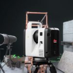
The demonstration shows an RTC scanner placed inside a transparent test chamber while fine powder circulates around its housing. Talcum powder is widely used for ingress protection testing because its small particles can reveal weaknesses in seals, enclosure joints, connectors, and other potential entry points.
Leica Geosystems disclosed several details about the testing process:
- 11 dust exposure tests were performed.
- Each test used 12 grams of talcum powder.
- The scanner remained inside the dust chamber for approximately 60 minutes per test.
- Engineers reopened the enclosure afterward to check for dust penetration.
These figures represent approximately 132 grams of powder introduced across the reported tests and about 11 hours of cumulative chamber exposure, assuming the stated quantities and durations applied to every cycle. The demonstration does not establish whether the same scanner was used throughout all 11 tests or whether each inspection followed an identical procedure.
The company presents the testing as evidence of its attention to enclosure protection. However, the published footage does not provide the complete laboratory protocol, pressure conditions, particle concentration, or independent certification documentation.
What IP5X Means for 3D Laser Scanners
IP5X is a dust protection classification defined under IEC 60529, the international standard for enclosure ingress protection. The first characteristic numeral, 5, indicates that the enclosure protects equipment against harmful dust accumulation. It does not require the enclosure to be completely dust-tight. Limited penetration is permissible, provided the dust does not interfere with satisfactory operation or compromise safety.
IP6X establishes a higher level of protection, requiring a dust-tight enclosure. The letter X in IP5X indicates that the second characteristic numeral, which describes water protection, is not specified by that designation.
For terrestrial laser scanners, dust resistance is particularly important because these instruments combine high-precision distance measurement systems, rotating scanning mechanisms, optical assemblies, cameras, inertial sensors, and embedded computing hardware. Fine particles can contaminate optical surfaces, affect mechanical assemblies, and create additional maintenance requirements during prolonged operation in construction or industrial environments.
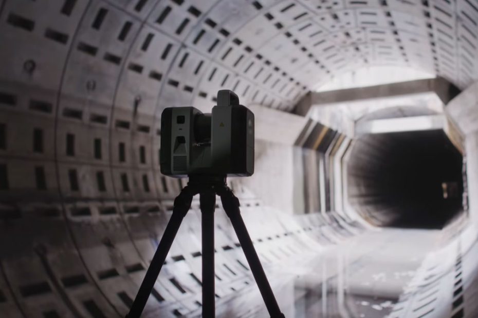
The latest Leica RTC300, RTC500, and RTC700 models have a published IP55 rating, combining IP5X dust protection with protection against water jets under specified conditions. Leica specifies this rating for upright operation within a 15-degree inclination range and for inverted operation with an appropriate protective cover.
Leica RTC300, RTC500 and RTC700 Specs
Introduced on June 9, 2026, the new Leica RTC series consists of three terrestrial laser scanners built on a common hardware and software platform. The lineup replaces the earlier RTC360/LT and ScanStation P30, P40, and P50 product families, combining high-speed reality capture with improved accuracy, integrated positioning sensors, and connected field workflows.
The RTC300 supports acquisition speeds of up to 1 million points per second and a maximum measuring range of 85 meters. The RTC500 increases scanning performance to 2 million points per second and extends the range to 130 meters, while the flagship RTC700 reaches a maximum specified range of 270 meters. All three models provide 360-degree horizontal and 300-degree vertical scanning coverage.
The instruments use a 1,550 nm Class 1 laser, high-speed time-of-flight distance measurement, and Leica’s Waveform Digitizing technology. Their published 3D point accuracy reaches 1.5 mm at 10 meters and 3.8 mm at 50 meters under specified measurement conditions. The scanners also feature automatic self-calibration and a Visual Inertial System designed to support scan registration while moving between instrument positions.
A six-camera imaging system captures 72 MP imagery, producing calibrated spherical HDR images with a resolution of 174 MP. Other shared features include 512 GB of internal SSD storage, a 4.3-inch touchscreen, dual-band Wi-Fi connectivity, and an operating temperature range from -20°C to +50°C (-4°F to +122°F).
Why Dust Protection Matters for Surveying
The significance of Leica’s testing extends beyond whether a scanner continues operating after exposure to dust. In precision surveying and reality capture, the more important question is whether environmental contamination can introduce measurement errors, compromise calibration, or reduce the consistency of repeated scans.
A construction site, aggregate processing facility, mining operation, or industrial plant can expose equipment to substantial concentrations of airborne particles. Even when a scanner remains operational, contamination of optical surfaces or internal mechanisms may eventually affect measurement quality or increase servicing costs.
Leica’s decision to demonstrate the test through footage of an actual dust chamber provides useful insight into the engineering process. Nevertheless, dust protection and measurement accuracy remain separate performance characteristics. A successful ingress protection test does not, by itself, establish that the instrument maintains its original calibration after extended environmental exposure.
From a technical perspective, the most valuable next step would be comparative measurement data collected before and after repeated dust exposure. Such results could demonstrate whether the scanner maintains its specified point accuracy and calibration stability under challenging operating conditions. Independent laboratory verification would provide additional confidence in the stated protection level.
The published IP55 specification is a meaningful feature for professional field equipment, but users should still consider operating conditions, connector sealing, cleaning procedures, and maintenance requirements. IP55 also should not be confused with complete dust exclusion or unrestricted protection against water exposure.
About Leica Geosystems
Leica Geosystems is a Swiss measurement technology company headquartered in Heerbrugg, Switzerland, and part of Hexagon. Its historical roots extend to the establishment of Kern & Co. in 1819 and Wild Heerbrugg in 1921. The Leica Geosystems organization emerged from the restructuring of the Leica Group in 1997.
The company develops surveying instruments, GNSS positioning systems, terrestrial laser scanners, mobile mapping technologies, and geospatial software for construction, infrastructure, industrial measurement, and other professional applications.
According to Hexagon’s June 2026 corporate figures, the parent group employed approximately 16,000 people across 50 countries and reported annual net sales of approximately €3.7 billion. Leica Geosystems remains one of its principal brands in professional surveying and reality capture technology.