Who operates it
- SmartNet Mexico, managed by Leica Geosystems, provides commercial GNSS RTK correction services across the country.
- TopNETlive, operated by Topcon, delivers global subscription-based GNSS RTK services, available throughout Mexico.
Availability & access
- Both networks are subscription-based, with flexible monthly and annual plans.
- Corrections are streamed via NTRIP and are compatible with most professional GNSS receivers and machine control systems.
Coverage & scale
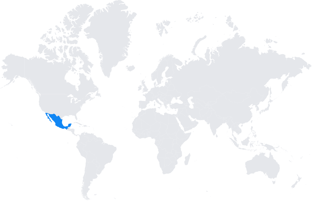
- Nationwide coverage across Mexico, including both urban and agricultural regions.
- Integrated into the wider North American and global GNSS infrastructures, ensuring consistent centimeter-level accuracy.
Typical use cases
- Cadastral and land surveying for urban development and property management.
- Large-scale construction and infrastructure projects, including roads, railways, and energy facilities.
- Precision agriculture, supporting Mexico’s crop production and large plantations.
- GIS mapping and environmental monitoring.
How it’s used in practice
- Surveyors and contractors connect GNSS rovers to SmartNet or TopNETlive NTRIP services for real-time corrections.
- Agricultural machinery and construction equipment use the corrections for machine guidance and automation.
Notes
- Mexico’s diverse geography makes reliable GNSS corrections essential for professional users.
- Both SmartNet and TopNETlive provide strong technical support and integration with industry-leading GNSS equipment.
Coverage Map