Who operates it
- SmartNet Norway, managed by Leica Geosystems, provides commercial GNSS RTK correction services.
- TopNETlive, operated by Topcon, offers subscription-based RTK services with coverage throughout Norway.
Availability & access
- Both networks are subscription-based, with monthly or annual plans tailored for surveyors, engineers, and agricultural users.
- Corrections are delivered via NTRIP and support multi-constellation GNSS.
Coverage & scale
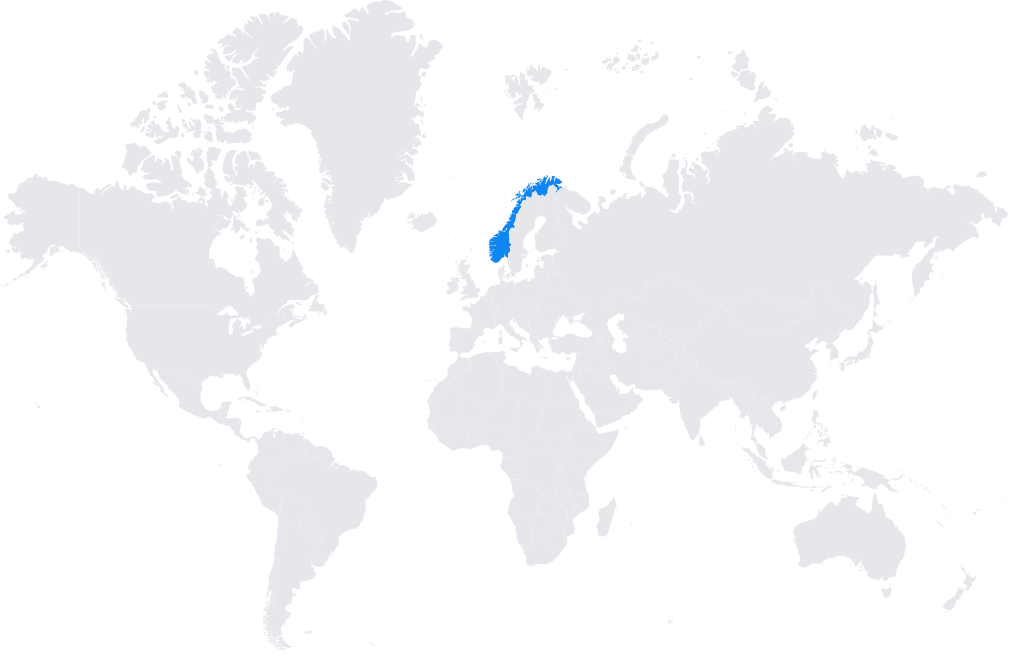
- Nationwide coverage, including Norway’s urban centers, rural landscapes, and coastal regions.
- Integrated with the wider European geodetic infrastructure (EUREF, ETRF), ensuring consistency across borders.
Typical use cases
- Land and cadastral surveying requiring centimeter-level accuracy.
- Infrastructure and construction projects, including tunnels, bridges, and roads.
- Precision agriculture and forestry in Norway’s rural regions.
- GIS mapping and environmental monitoring in mountainous and coastal areas.
How it’s used in practice
- Users connect GNSS rovers or machine guidance systems to SmartNet or TopNETlive NTRIP casters for real-time RTK corrections.
- Data logging and post-processing workflows are also supported for scientific and engineering applications.
Notes
- Norway’s complex topography and infrastructure needs make reliable RTK corrections essential.
- Commercial providers ensure high-availability services with strong technical support for professional users.
Coverage Map