Who operates it
- SmartNet Lithuania is operated by Leica Geosystems and provides commercial GNSS RTK correction services across the country.
- It complements Lithuania’s geodetic infrastructure by offering professional-grade accuracy and support.
Availability & access
- The service is subscription-based, available on monthly or annual plans.
- Corrections are streamed via NTRIP and are compatible with most professional GNSS receivers and machine control systems.
Coverage & scale
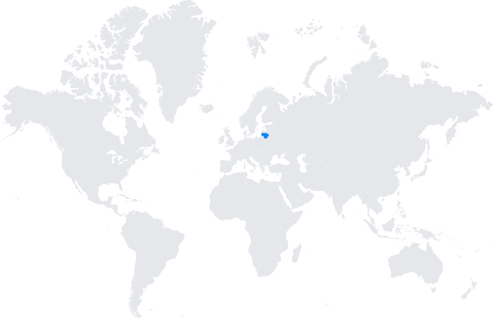
- Nationwide coverage with reference stations distributed across Lithuania.
- Integrated into the broader European GNSS frameworks (EUPOS, ETRF) to ensure geodetic consistency across borders.
Typical use cases
- Cadastral and land surveying with centimeter precision.
- Civil engineering and construction projects requiring real-time accuracy.
- Precision agriculture, especially in crop farming and forestry applications.
- GIS mapping for municipalities and environmental monitoring.
How it’s used in practice
- Surveyors and contractors connect GNSS rovers or agricultural machinery to the SmartNet NTRIP caster for real-time corrections.
- Data can also be logged and post-processed for quality assurance.
Notes
- SmartNet Lithuania provides reliable technical support and integrates seamlessly with Leica equipment, while remaining compatible with other brands.
- It ensures professional users have access to consistent, high-accuracy positioning services across the country.
Coverage Map