Global Navigation Satellite Systems such as GPS, Galileo, GLONASS, and BeiDou provide position, navigation, and timing for many machines and vehicles. GNSS can provide meter to decimeter accuracy under good conditions. Advanced techniques such as Real-Time Kinematic GNSS can deliver centimeter-level positioning when connected to local reference stations.
GNSS signals are vulnerable to interference, jamming, or physical blockage. For this reason, a range of alternative navigation technologies exist. These systems work alone or in combination to support navigation when GNSS is unavailable or unreliable.
Inertial Navigation Systems and IMU Drift Rates
Inertial Navigation Systems (INS) use onboard accelerometers and gyroscopes to calculate changes in position and orientation without external signals. A typical inertial system integrates acceleration and angular velocity to compute position over time.
INS units vary in performance. Tactical and navigation grade inertial measurement units (IMUs) may have accelerometer errors around 10 micro-g (10e-6 g). Even with this level of error, position calculations can drift. For example, a standard error of 10 micro-g can lead to a cumulative 50-meter position error after about 17 minutes of GNSS loss if uncorrected.
INS is widely used in aerospace and defense navigation. In mobile applications, mission-critical INS systems are usually paired with external references (such as GNSS or other signals) to reset or constrain drift over time.
LEO Satellite Based PNT and Timing Signals
Low Earth Orbit satellite systems are used to provide alternative Positioning, Navigation, and Timing signals that differ from traditional GNSS. LEO satellites operate at much lower altitudes, resulting in different signal geometry and higher received signal power at the user terminal.
LEO based PNT is used primarily as a backup source for timing and navigation. These signals are more difficult to disrupt using conventional GNSS jamming techniques. LEO PNT can provide global coverage and continuous time synchronization even when GNSS is unavailable.
LEO systems do not provide centimeter-level absolute positioning. Their main role is to support navigation continuity and time stability when GNSS signals are lost.
Terrestrial and Local Positioning Methods
Terrestrial positioning methods rely on radio transmitters deployed within a defined area. These systems calculate position based on signal timing, phase, or signal strength.
Local positioning systems operate independently of satellites. Their coverage is limited to the area where infrastructure is installed. Accuracy depends on transmitter density, geometry, and environmental conditions.
Such systems are commonly used in warehouses, ports, industrial sites, and controlled outdoor environments.
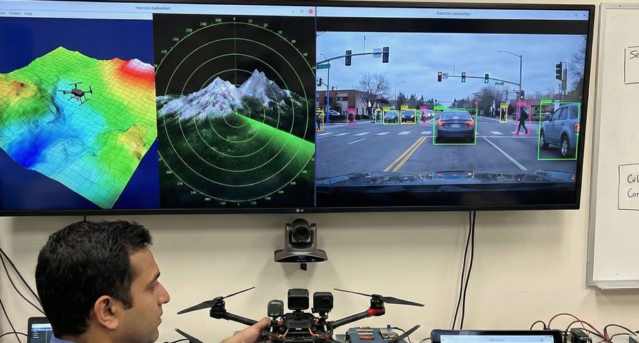
Integrated Visual and Motion Sensor Navigation
Visual navigation uses camera data to estimate movement and orientation by tracking features in the environment. Algorithms compare successive images to determine relative motion.
Performance depends on lighting, visibility, and scene structure. Visual navigation does not rely on radio signals and is unaffected by satellite interference.
Motion sensors such as wheel encoders and steering angle sensors provide short-term movement data. These inputs help constrain inertial navigation estimates and improve control stability.
Hybrid Navigation Architectures
No single technology fully replaces GNSS across all operating conditions. Modern navigation systems rely on hybrid architectures that combine multiple data sources.
A typical system integrates:
- GNSS for absolute positioning when available.
- INS for continuous motion tracking.
- LEO based PNT for timing and backup navigation.
- Vehicle motion sensors for kinematic constraints.
- Visual systems for local guidance.
This approach allows navigation performance to degrade gradually rather than fail abruptly when GNSS signals are disrupted.


