New compact navigation solution combines inertial guidance and advanced satellite positioning for next generation unmanned aircraft
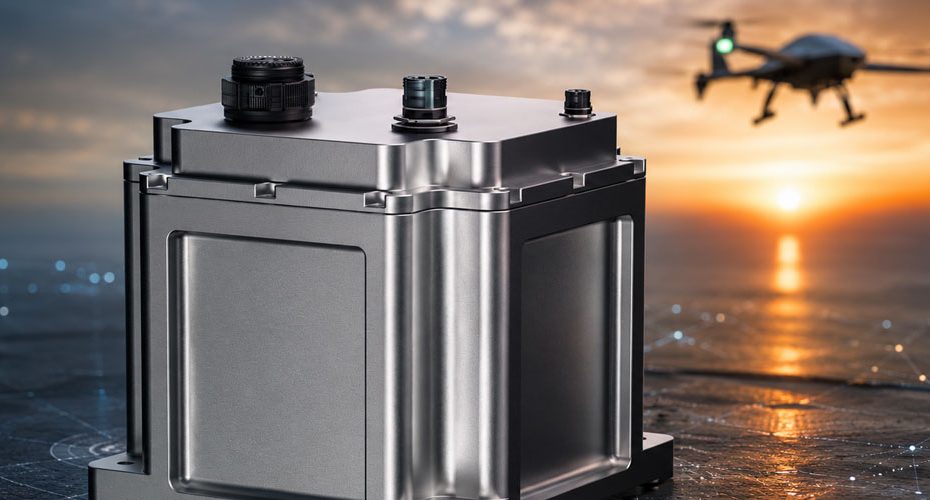
Honeywell Aerospace has unveiled Kestrel, a new embedded navigation system designed to help unmanned aerial systems maintain accurate positioning in environments where GPS signals are jammed, degraded, or spoofed. The launch reflects the growing demand for resilient navigation technologies as military and commercial drone operators increasingly face electronic warfare threats and contested airspace conditions.
According to Honeywell, Kestrel is approximately 40% smaller than comparable navigation systems while delivering up to 80% better navigation accuracy. The company also claims the system can reduce drone attrition rates by as much as 60%, potentially lowering operating costs for large scale UAS fleets.
Built for GPS Jamming and Spoofing Threats
Kestrel combines Honeywell’s HG3900 MEMS inertial measurement unit with an M-Code capable receiver and multi-GNSS technology. This allows the system to continue estimating position even when satellite navigation signals become unreliable or unavailable.
While Honeywell has not released detailed technical specifications such as weight, power consumption, update rate, or navigation drift performance, the company confirmed the system was specifically developed for Group 2 and Group 3 unmanned aircraft, collaborative combat aircraft, and loitering munitions. It can also be integrated into crewed aircraft where size, weight, and power limitations are critical.
The addition of M-Code support is particularly notable. M-Code is the latest encrypted military GPS signal used by U.S. and allied forces and offers significantly greater resistance to jamming and spoofing than legacy GPS signals.
Smaller Size for High Volume Drone Production
One of Kestrel’s most important advantages may not be its accuracy but its compact footprint.
As defense manufacturers shift toward producing thousands of low cost drones rather than small numbers of highly sophisticated platforms, navigation systems must become lighter, cheaper, and easier to integrate. Honeywell appears to be positioning Kestrel as a solution that balances performance with mass production requirements.
The company says improved navigation precision could reduce drone operating costs by up to 50%, particularly for operators deploying large fleets across long duration missions.
Why This Matters
The timing of Kestrel’s launch is not accidental. Recent conflicts have demonstrated that electronic warfare has become one of the biggest threats to unmanned systems. Many drones that perform well in testing environments struggle once GPS interference becomes widespread.
In this environment, navigation systems that can maintain accurate positioning without continuous satellite coverage are becoming just as important as cameras, sensors, or communication links.
My view is that Kestrel reflects a broader industry trend away from GPS dependent autonomy toward multi-layer navigation architectures. Future drones will increasingly rely on combinations of inertial navigation, encrypted satellite signals, vision based positioning, terrain matching, and AI assisted navigation rather than depending on a single source of location data. Companies that can package those capabilities into affordable, scalable hardware will have a significant advantage as global drone production accelerates.
About Honeywell Aerospace
Honeywell Aerospace is one of the world’s largest aerospace technology suppliers, providing avionics, navigation systems, propulsion technologies, flight controls, satellite communications, and safety systems for commercial, military, and space applications. Honeywell technologies are installed on tens of thousands of aircraft worldwide and support more than 100,000 flight operations daily. The aerospace division generates annual revenue measured in billions of dollars and remains a major supplier to both the U.S. Department of Defense and leading aircraft manufacturers across the globe.


