Who operates it
- PAGeNet (Philippine Active Geodetic Network) is operated by the National Mapping and Resource Information Authority (NAMRIA).
- It is the official national CORS network of the Philippines, supporting the country’s geodetic reference system.
Availability & access
- PAGeNet is primarily a subscription-based service, with accounts provided to professional users, surveyors, and institutions.
- The network supplies real-time corrections via NTRIP and RINEX data for post-processing.
Coverage & scale
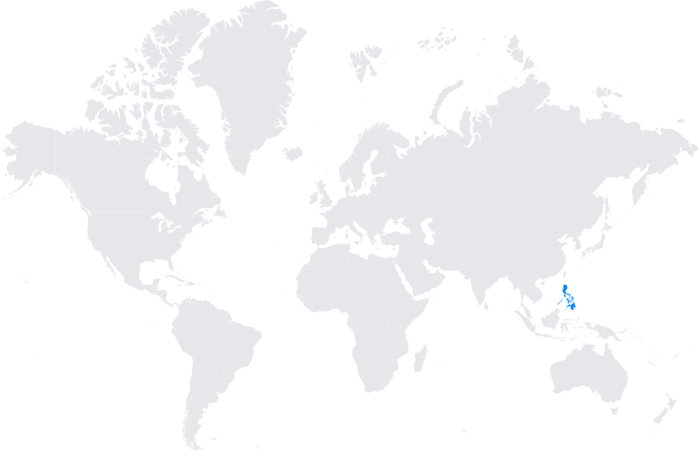
Stations are distributed nationwide across the Philippine archipelago, covering Luzon, Visayas, and Mindanao.
Integrated into regional geodetic frameworks and aligned with the International Terrestrial Reference Frame (ITRF).
Typical use cases
- Land and cadastral surveying, supporting property registration.
- Infrastructure and engineering projects requiring centimeter-level precision.
- Disaster management, including monitoring of earthquakes, volcanic activity, and land subsidence.
- Agricultural and environmental monitoring applications.
How it’s used in practice
- Surveyors connect GNSS rovers to the PAGeNet NTRIP service for real-time RTK corrections.
- Post-processing users download RINEX files for static and kinematic geodetic applications.
Notes
- PAGeNet is crucial for a country exposed to tectonic and volcanic activity.
- It plays a central role in disaster preparedness, hazard mapping, and modernizing geospatial infrastructure in the Philippines.
Coverage Map