Who operates it
- TopNETlive is operated by Topcon Positioning Systems, offering global GNSS correction services with coverage in Peru.
- Local distribution and technical support are provided through Topcon’s regional partners in South America.
Availability & access
- The service is subscription-based, with monthly or annual plans available.
- Corrections are streamed via NTRIP and support all major GNSS constellations (GPS, GLONASS, Galileo, BeiDou).
Coverage & scale
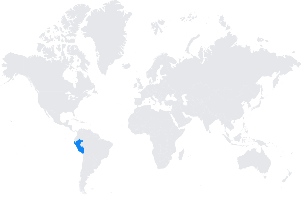
- Provides reliable RTK coverage throughout Peru, including coastal regions, the Andes, and Amazonian areas.
- Integrated into TopNETlive’s global infrastructure to ensure seamless service continuity.
Typical use cases
- Land and cadastral surveying.
- Infrastructure and engineering projects, including mining, road construction, and energy development.
- Precision agriculture for crops such as coffee, cocoa, and maize.
- GIS mapping and environmental monitoring in diverse ecosystems.
How it’s used in practice
- Surveyors connect GNSS rovers to the TopNETlive NTRIP caster for real-time centimeter-level corrections.
- Construction and agricultural machinery use the service for guidance and automation.
Notes
- Peru’s diverse geography makes nationwide GNSS corrections particularly valuable.
- TopNETlive offers professional support and ensures consistent positioning where government-operated CORS services are not widespread.
Coverage Map