GeoCue has added Duncan-Parnell to its Global Distribution Network, extending availability of its TrueView LiDAR systems and LP360 processing software across the southeastern United States. The move is less about a simple reseller agreement and more about embedding LiDAR into an already mature surveying and construction equipment ecosystem.
Duncan-Parnell brings a footprint that is hard to ignore in this region. With 23 offices and a dedicated 15-person UAS team, the company already operates close to the end users who are actually deploying geospatial hardware in the field. That proximity matters when LiDAR adoption depends not only on hardware availability but also on training, calibration, and workflow integration.
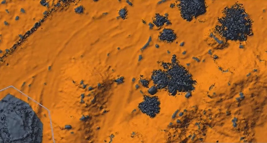
TrueView LiDAR and LP360 Workflow Integration Targets Practical Field Deployment
The core of this partnership is the integration of GeoCue’s TrueView LiDAR systems with its LP360 software environment.
From a technical standpoint, the value proposition sits in the workflow continuity:
- TrueView LiDAR platforms combine GNSS, IMU, and laser scanners into a single payload for UAV, mobile, or handheld mapping.
- Systems are typically designed to produce survey-grade point clouds, assuming proper GNSS correction input and calibration.
- Multi-platform support allows the same data structure across aerial and terrestrial capture.
On the processing side, LP360 handles:
- Point cloud post-processing and trajectory correction.
- Classification workflows for ground, vegetation, and structures.
- Integration with standard GIS and CAD environments.
- Deliverable generation for engineering and infrastructure use cases.
Nothing here is conceptually new for the LiDAR market. What changes is execution. The closer the distributor is to the field, the higher the chance that these tools are actually used correctly rather than sitting underutilized after purchase.
Expansion Follows Duncan-Parnell’s Multi-State Growth Strategy
Timing is not random. Duncan-Parnell has been expanding its regional coverage, including acquiring parts of Navigation Electronics Inc. operations across Alabama, Florida, Georgia, and Tennessee.
That expansion effectively increases:
- Local support density.
- Access to field technicians.
- Training availability for new LiDAR users.
For LiDAR specifically, this is critical. Hardware alone does not solve mapping problems. Poor GNSS correction setup, weak control points, or bad classification workflows can degrade results quickly. A distributor with field-level support can mitigate those risks.
LiDAR Adoption Shifts from Specialized Tool to Standard Survey Workflow
This partnership reflects a broader trend. LiDAR is no longer treated as a niche or high-end add-on.
It is moving into standard workflows for:
- Surveying and topographic mapping.
- Construction site monitoring.
- Infrastructure inspection.
- Public safety and emergency response mapping.
The bottleneck is no longer hardware capability. It is operational deployment. That includes training, repeatable workflows, and reliable data processing pipelines.
By aligning with a distributor that already serves surveyors and engineers at scale, GeoCue is effectively reducing friction in that adoption curve.
About GeoCue
GeoCue is a U.S.-based developer of LiDAR mapping systems and geospatial software. The company focuses on integrated solutions that combine data capture hardware with processing tools. Its portfolio includes the TrueView LiDAR series and the LP360 software suite used for point cloud processing and analysis.
About Duncan-Parnell
Founded in 1946, Duncan-Parnell is a family-owned geospatial and construction technology distributor with more than 80 years of operation. The company runs 23 offices across the Southeast United States and supports surveying, engineering, and construction sectors. It is also one of the largest distributors of Trimble equipment in the U.S. and maintains a dedicated UAS team focused on drone-based mapping solutions.


