Topcon Positioning Systems and GreenValley International (GVI) have announced a strategic partnership aimed at accelerating the development of advanced spatial intelligence technologies across surveying, mapping, construction, forestry, and other geospatial industries.
Rather than introducing a single new product, the agreement establishes a long term technology collaboration focused on integrating both companies’ strengths into unified hardware and software solutions. The initiative is expected to support professionals working with handheld, vehicle mounted, and aerial LiDAR systems while simplifying the entire process from data capture to final analysis.
The partnership was officially announced during the Esri User Conference held in San Diego, California, from July 13 to July 17, 2026.
Integrated geospatial workflows
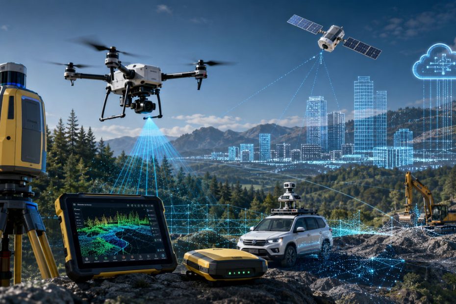
The companies plan to develop tightly integrated workflows that combine precise positioning technologies with advanced LiDAR scanning and intelligent data processing.
Future developments are expected to include:
- handheld LiDAR mapping systems;
- mobile and vehicle based mapping platforms;
- drone based LiDAR data acquisition;
- cloud enabled processing and data transfer;
- robotic mapping solutions;
- autonomous monitoring systems.
The objective is to reduce the complexity of geospatial data collection while enabling users to process larger datasets more efficiently in both office and field environments.
AI becomes central to point cloud processing
Artificial intelligence will play a major role in the collaboration. According to both companies, future development will focus on improving how point cloud data is processed and interpreted.
Key research areas include automated feature extraction, intelligent object classification, multi sensor data fusion, and workflow automation. Instead of requiring operators to manually process massive datasets, AI will increasingly identify assets, classify terrain, and generate actionable information with minimal human intervention.
This approach could significantly reduce processing time while improving consistency across infrastructure, forestry, mining, and construction projects.
Beyond traditional surveying
One notable aspect of the partnership is its scope. While many geospatial collaborations focus solely on surveying equipment, this alliance extends into robotics, autonomous monitoring, and real time cloud services.
That broader vision reflects where the geospatial industry is heading. Modern positioning systems are becoming only one component of much larger digital ecosystems where GNSS, LiDAR, AI, cloud computing, and autonomous machines continuously exchange data.
As labor shortages continue and infrastructure projects become more data intensive, customers are increasingly looking for complete digital workflows rather than standalone hardware.
Industry perspective
This partnership appears to be more strategic than product driven. Neither company is simply adding another sensor or software module. Instead, they are building an ecosystem that combines high precision positioning with intelligent spatial analysis.
If executed successfully, the collaboration could help close one of the biggest gaps in today’s geospatial market: transforming enormous volumes of LiDAR data into usable information without requiring extensive manual processing. That capability will become increasingly valuable as mobile mapping, autonomous vehicles, digital twins, and AI driven infrastructure management continue to expand.
About Topcon Positioning Systems
Topcon Positioning Systems is a global developer of precision positioning technologies serving construction, surveying, agriculture, geospatial, and infrastructure markets. The company operates as part of the Japanese Topcon Corporation, which was founded in 1932. Today, Topcon employs approximately 5,700 people worldwide and generates annual revenue of roughly ¥220 billion (about US$1.4 to US$1.5 billion), with operations spanning more than 100 countries.
About GreenValley International
GreenValley International is a geospatial technology company specializing in LiDAR hardware, point cloud software, and spatial intelligence solutions. Its product portfolio includes handheld, mobile, backpack, drone, and vehicle mounted laser scanning systems along with proprietary LiDAR processing software used by surveying, forestry, utility, mining, and engineering professionals in more than 100 countries. The company has established itself as one of the leading providers of integrated LiDAR solutions for both field data acquisition and advanced point cloud analysis.