Who operates it
SmartNet Netherlands, operated by Leica Geosystems, provides commercial GNSS RTK services nationwide.
RTK Direct is a private provider offering paid GNSS corrections for professional users.
TopNETlive, operated by Topcon, delivers global subscription-based RTK corrections with strong coverage in the Netherlands.
Availability & access
All three networks are subscription-based, with flexible monthly and annual service plans.
Corrections are delivered via NTRIP, supporting multi-constellation GNSS (GPS, GLONASS, Galileo, BeiDou).
Coverage & scale
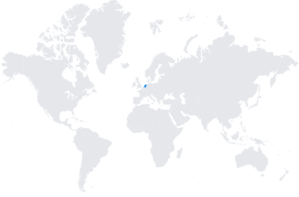
Full national coverage across the Netherlands, with dense station distribution to guarantee high reliability and precision.
Integrated with the European geodetic frameworks (ETRS89, EUPOS) to ensure cross-border compatibility.
Typical use cases
Cadastral and land surveying with centimeter accuracy.
Civil engineering and infrastructure projects, including flood control, dikes, and transport networks.
Precision agriculture in the Netherlands’ intensive farming sector.
GIS mapping, municipal planning, and environmental monitoring.
How it’s used in practice
Surveyors and engineers connect GNSS rovers or machine guidance systems to SmartNet, RTK Direct, or TopNETlive via NTRIP.
Real-time corrections are used in the field, while logged data supports post-processing for quality assurance.
Notes
The Netherlands’ flat geography and high reliance on precise land management make robust CORS networks essential.
Commercial providers deliver reliable, high-availability services with professional technical support.
Coverage map