Who operates it
- SmartNet in Austria is operated by Leica Geosystems and provides commercial GNSS correction services across the country.
- RTK Direct is a separate private service provider offering paid RTK access for surveyors and engineers.
Availability & access
- Both SmartNet and RTK Direct are subscription-based services.
- Access is typically arranged via annual or monthly plans, with data delivered through NTRIP.
Coverage & scale
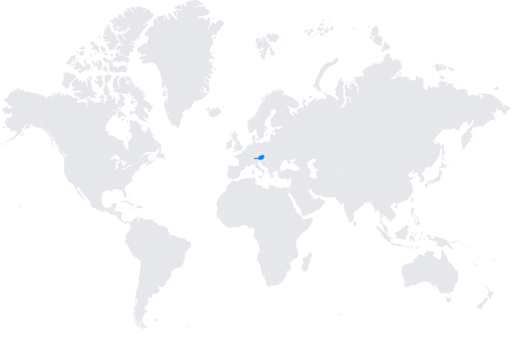
- Coverage extends across Austria with a dense network of stations to ensure reliable RTK corrections.
- The Austrian CORS infrastructure is closely tied to the European Position Determination System (EUPOS) and supports pan-European geodetic initiatives.
Typical use cases
- Professional land surveying and cadastral mapping.
- Civil engineering and construction projects requiring real-time centimeter-level accuracy.
- Precision agriculture and machine guidance in farming.
- Integration into GIS workflows for municipalities and infrastructure planning.
How it’s used in practice
- GNSS rovers and survey equipment connect via NTRIP clients to SmartNet or RTK Direct.
- Users receive instant RTK corrections for real-time work or log raw GNSS data for post-processing with precise base station coordinates.
Notes
Both services are commercial and known for high reliability, professional technical support, and integration with leading GNSS equipment brands.
Coverage map