The full form does not change by industry.
What changes is how GNSS signals are used, how accuracy is handled, and what system limitations matter in each field.
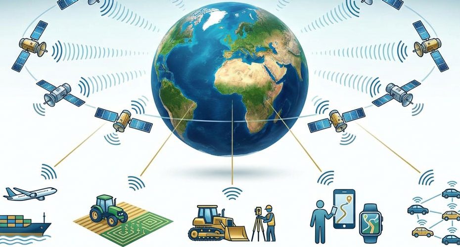
Why GNSS Has Different Meanings in Practice
GNSS always provides the same core output:
- position
- velocity
- time
Industries differ in:
- required accuracy;
- tolerance to signal loss;
- update rate;
- integration with other systems;
- legal and safety constraints.
These differences explain why GNSS is discussed separately by sector.
GNSS in Aviation
In aviation, GNSS is used as a navigation reference, not as a raw positioning tool.
Key characteristics:
- accuracy must meet certified thresholds;
- signal integrity is monitored continuously;
- system redundancy is mandatory;
- GNSS is combined with inertial and ground-based systems.
Failure handling is part of system design. GNSS alone is never the only source of navigation data.
GNSS in Army and Defense
In defense applications, GNSS is treated as a controlled resource.
Key characteristics:
- access to encrypted signals;
- resistance to jamming and spoofing;
- operation in degraded signal environments;
- strict timing requirements.
GNSS is often fused with inertial navigation to maintain positioning when satellite signals are unavailable.
GNSS in Agriculture
In agriculture, GNSS is a machine control input.
Key characteristics:
- repeatability matters more than absolute accuracy;
- RTK or similar corrections are commonly used;
- multi-constellation reception improves uptime;
- GNSS directly controls steering and implements.
Short signal interruptions can cause visible field errors, which is why correction stability is critical.
GNSS in Surveying and Land Survey
In surveying, GNSS is a measurement instrument.
Key characteristics:
- centimeter or millimeter accuracy is required;
- raw observation data is recorded;
- reference stations and correction networks are essential;
- legal standards define acceptable error margins.
Surveying GNSS workflows include post-processing and quality checks.
GNSS in GIS and Geography
In GIS, GNSS is a data attribution tool.
Key characteristics:
- accuracy requirements vary by project;
- real-time precision is often secondary;
- emphasis is on consistency and spatial reference systems;
- GNSS data is linked to attribute databases.
GNSS provides location context rather than final measurements.
GNSS in Drones and UAVs
In drones, GNSS is a flight stabilization and navigation component.
Key characteristics:
- high update rate is required;
- GNSS is tightly integrated with IMU sensors;
- multipath and urban interference are major issues;
- loss of GNSS triggers automated safety responses.
GNSS performance directly affects flight behavior.
GNSS in Railways
In rail systems, GNSS is a position reporting source.
Key characteristics:
- track-level accuracy is required;
- availability in tunnels and urban corridors is limited;
- GNSS is combined with odometry and track databases;
- system reliability matters more than peak accuracy.
GNSS supports monitoring rather than direct control.
GNSS in Shipping and Maritime Operations
In maritime use, GNSS is a primary navigation reference.
Key characteristics:
- open-sky reception improves reliability;
- integrity monitoring is required in regulated waters;
- GNSS is integrated with electronic charts;
- timing data supports onboard systems.
GNSS failure can affect navigation and compliance.
GNSS in Telecom and Communication Networks
In telecom, GNSS is a time source, not a positioning system.
Key characteristics:
- nanosecond-level timing accuracy is required;
- signal loss affects network synchronization;
- GNSS receivers are fixed, not mobile;
- backup timing sources are mandatory.
Most telecom GNSS receivers never output latitude or longitude.
GNSS vs GPS in Industry Context
GPS is one satellite system.
GNSS is the framework that includes multiple systems.
Industries increasingly rely on multi-constellation GNSS to reduce dependency on a single signal source.


