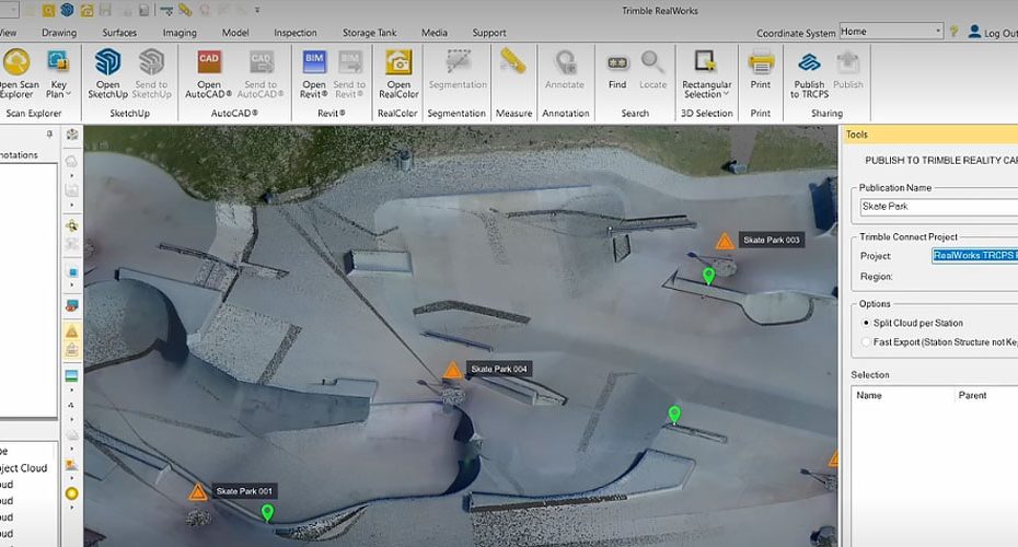
Trimble has released RealWorks v2026.10, focusing on reducing manual workload in point cloud processing while strengthening integration across its geospatial ecosystem. The update targets professionals working with laser scanning data who require faster registration, improved file compatibility, and tighter connections between field and office workflows.
Trimble RealWorks v2026.10 improves structured scan registration efficiency
One of the key upgrades in v2026.10 is enhanced registration for structured scans. While Trimble has not disclosed full algorithmic details, the improvement is clearly aimed at reducing the time spent aligning scan positions, particularly in projects with repetitive layouts such as buildings, industrial facilities, and infrastructure corridors.
Structured scan registration typically relies on known scan positions and predictable geometry. The latest update appears to optimize this process, minimizing manual intervention and improving consistency across large datasets. For surveyors and reality capture specialists, this translates into faster project turnaround and fewer alignment errors during post processing.
Expanded TRB file support strengthens Trimble ecosystem compatibility
Another important addition is expanded support for .trb files, a format commonly associated with Trimble scanning hardware. This enhancement suggests improved handling of raw or semi processed data coming directly from field devices.
In practical terms, broader .trb compatibility reduces the need for intermediate conversions and lowers the risk of data loss or formatting issues. It also reinforces RealWorks as a central processing hub within the Trimble workflow, especially for users operating multiple Trimble instruments across surveying, construction, and mapping applications.
Integration with Trimble Perspective enables connected measurement workflows
Trimble is also emphasizing cross platform integration, particularly with Trimble Perspective, its field software used for scan control and preliminary data handling.
The new workflow guidance highlights how measurements captured in the field through Perspective can be leveraged directly inside RealWorks. This creates a more continuous data pipeline where field annotations, measurements, and scan data remain connected throughout processing and analysis.
For professionals managing complex projects, this reduces duplication of work and ensures that critical field data is not lost or reinterpreted during office processing.
New tutorial series supports onboarding and advanced workflows
Alongside the software update, Trimble has published a full tutorial series on the Trimble Geospatial YouTube channel. The content walks users through the updated workflow, including scan registration, file handling, and integration with Perspective.
This move reflects a broader trend in the industry where software updates are increasingly paired with structured learning resources to accelerate adoption and reduce the learning curve for new features.
Market positioning and practical impact
RealWorks continues to compete in a space dominated by high end reality capture platforms used in surveying, construction, and infrastructure projects. The focus of v2026.10 is not on introducing entirely new capabilities but on refining existing workflows and eliminating inefficiencies.
For existing Trimble users, the value lies in incremental productivity gains. Reduced registration time, improved file compatibility, and tighter software integration can collectively deliver meaningful cost savings over large projects.
At the same time, the update strengthens Trimble’s strategy of keeping users within its ecosystem, where hardware, field software, and office processing tools are tightly interconnected.
About Trimble Inc.
Trimble Inc. is a global technology company specializing in positioning, modeling, and data solutions for industries such as construction, agriculture, geospatial, and transportation. Founded in 1978 and headquartered in Westminster, Colorado, the company operates in more than 150 countries.
Trimble generates annual revenues in the range of several billion US dollars and is known for its integrated hardware and software ecosystem, including GNSS receivers, laser scanners, machine control systems, and geospatial processing platforms like RealWorks. The company continues to invest heavily in connected workflows that link field data capture with office analysis and cloud based collaboration.


