Modern drone operations increasingly face a challenge that traditional satellite navigation cannot solve. As electronic warfare, signal interference, and deliberate GPS spoofing become more common, autonomous aircraft require alternative methods to determine their position. Endee Labs believes it has developed one of the most practical answers with the introduction of AutoNav, a fully onboard visual navigation system capable of guiding drones with sub meter accuracy even when GPS signals are unavailable.
Rather than positioning AutoNav as a replacement for GPS, the company has designed it as a complementary navigation layer that automatically takes over whenever satellite navigation becomes unreliable.
Built for GPS denied environments
The growing importance of GPS independent navigation is no longer limited to military applications.
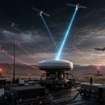
Recent conflicts have demonstrated how vulnerable satellite navigation has become. Electronic warfare during the war in Ukraine has made GPS jamming and spoofing a routine obstacle for unmanned aircraft, while more recent disruptions in the Middle East have affected not only military assets but also commercial aviation and maritime navigation.
Against this backdrop, Endee Labs has introduced a navigation platform that relies entirely on onboard vision processing instead of satellite signals.
According to the company, AutoNav has already completed more than 100 real world flight missions, supports operational maps covering more than one million square kilometers, and calculates a complete positioning solution in less than one second without requiring cloud connectivity.
AI powered localization replaces satellite positioning
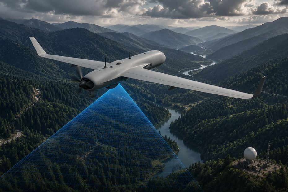
Instead of receiving location information from satellites, AutoNav continuously analyzes live camera imagery captured during flight.
Every image frame is converted into mathematical vector representations using Endee Labs’ proprietary AI model. These vectors are then compared against a prebuilt visual database containing millions of indexed reference locations. Once a match is found, the drone determines its precise geographic position entirely onboard.
Unlike traditional visual localization systems that often struggle when landscapes change,
Endee says its AI model has been trained to recognize environments across:
- day and night conditions;
- seasonal landscape changes;
- rain, fog, and haze;
- varying lighting conditions;
- evolving terrain.
This broader environmental tolerance could make visual navigation considerably more practical outside controlled testing environments.
Designed for existing drone platforms
One of AutoNav’s strongest engineering advantages is that it does not require manufacturers to redesign their aircraft.
The navigation computer is packaged as a compact onboard hardware module that integrates directly with MAVLink compatible autopilots, allowing existing drones to gain GPS independent navigation with minimal integration work.
When GPS remains available, the system operates alongside conventional satellite receivers. If GPS signals become jammed, spoofed, or degraded, AutoNav seamlessly transitions to vision based positioning.
This hybrid architecture may prove especially attractive for both defense contractors and commercial drone manufacturers seeking additional resilience without replacing their existing flight control systems.
Commercial and defense applications continue expanding
Although the technology naturally attracts attention for military use, its commercial potential may ultimately be just as significant.
Reliable navigation without GPS could improve operations involving:
- infrastructure inspection;
- power line monitoring;
- mining;
- logistics;
- autonomous industrial surveying;
- offshore operations;
- search and rescue missions.
Any environment where satellite visibility is obstructed or signal integrity cannot be guaranteed stands to benefit from an independent positioning solution.
Industry perspective
Visual navigation has been an active research field for many years, but turning laboratory concepts into deployable products has proven far more difficult. The largest obstacles have typically involved processing speed, environmental variability, and hardware integration.
AutoNav appears to address each of these areas with a practical systems approach rather than relying solely on computer vision algorithms. Running the entire localization pipeline onboard in under one second while supporting extremely large mapping databases represents a notable engineering achievement if the published performance is consistently validated in broader operational deployments.
The decision to integrate with existing MAVLink ecosystems instead of requiring proprietary flight controllers may also accelerate adoption, since manufacturers can upgrade current drone fleets rather than redesigning aircraft from the ground up.
As electronic warfare capabilities continue expanding worldwide, resilient navigation technologies are likely to become standard equipment rather than specialized options. Visual navigation alone will not replace GNSS, but hybrid systems combining multiple independent positioning sources increasingly represent the future of autonomous aviation.
About Endee Labs
Endee Labs is a Bengaluru, India based deep technology company specializing in artificial intelligence, vector databases, and autonomous navigation technologies. Its proprietary vector search platform serves as the foundation for the company’s visual localization engine, allowing millions of visual references to be searched in real time directly onboard autonomous systems. According to the company, AutoNav has completed 100+ operational missions, supports over 1 million square kilometers of mapped coverage, computes navigation in under one second, and is currently being evaluated through pilot programs with multiple drone manufacturers and defense technology companies in India and international markets.
Source: endee.io