Who operates it
- ROMPOS (Romanian Position Determination System) is operated by the National Agency for Cadastre and Land Registration (ANCPI).
- It is the official national CORS network of Romania, supporting the country’s geodetic reference system.
Availability & access
- ROMPOS is a subscription-based service, though some data and services may be provided free for academic and governmental use.
- Offers real-time RTK corrections via NTRIP and downloadable RINEX data for post-processing.
Coverage & scale
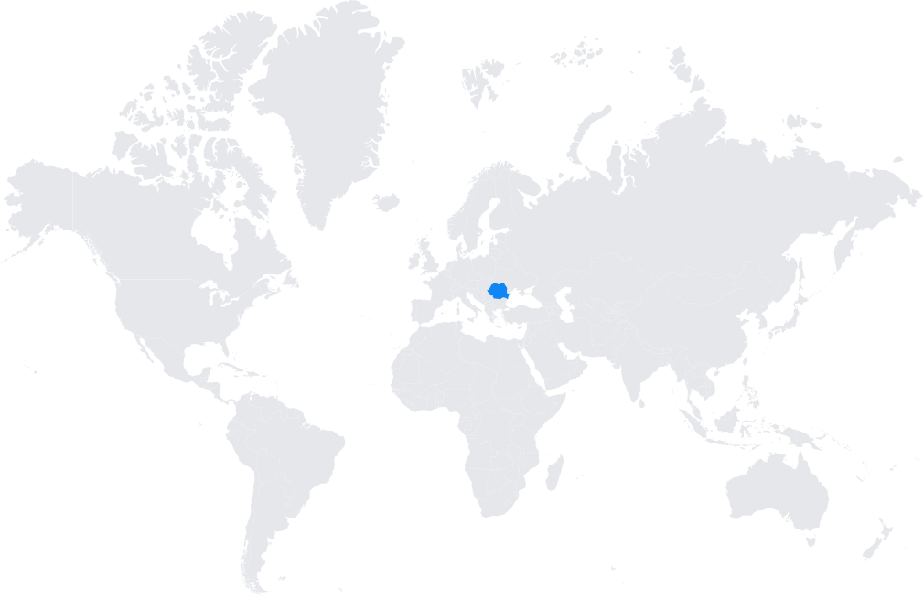
- Nationwide coverage with more than 70 CORS stations strategically located across Romania.
- Integrated into EUPOS and aligned with the European Terrestrial Reference Frame (ETRF89).
Typical use cases
- Cadastral surveying and property registration.
- Civil engineering and infrastructure projects requiring centimeter-level precision.
- GIS mapping and municipal planning.
- Scientific research in geodynamics, environmental monitoring, and disaster management.
How it’s used in practice
- Surveyors connect GNSS rovers to the ROMPOS NTRIP service for real-time RTK corrections.
- Researchers and engineers download RINEX files for static and kinematic geodetic workflows.
Notes
- ROMPOS is an essential part of Romania’s modernization in land administration and geospatial data management.
- Widely used across the country by surveyors, engineers, and public authorities.
Coverage Map