NASA has demonstrated a new approach to autonomous spacecraft navigation that can determine a satellite’s orbit without relying on GPS or continuous support from ground-based tracking networks.
The technology, known as FALCON, or Fast Autonomous Lost-in-space Catalog-based Optical Navigation, was tested aboard NASA’s Starling mission in low Earth orbit. Instead of receiving positioning signals from a navigation constellation, FALCON uses optical observations of other objects already moving through space.
The experiment represents a significant shift in how spacecraft could navigate in increasingly crowded orbits and, eventually, in environments where Earth-based Global Navigation Satellite System signals are unavailable.
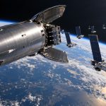
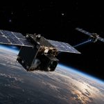
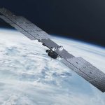
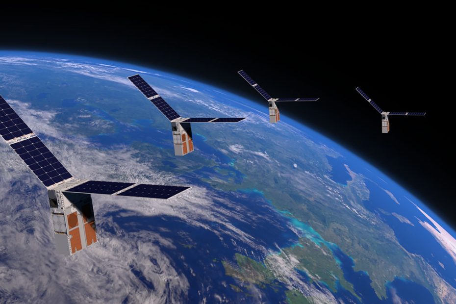
NASA’s Starling mission consists of four 6U CubeSats launched on July 17, 2023. The spacecraft were originally developed to demonstrate autonomous swarm maneuvering, networking, relative navigation and distributed decision-making.
FALCON Navigation Without GPS
FALCON turns objects that would normally be considered part of the orbital environment into navigation references.
The spacecraft uses its onboard star-tracker cameras to detect satellites, rocket bodies and other resident space objects passing through their field of view. Software then compares those observations with an onboard catalog containing orbital information for roughly 20,000 known objects.
Once an observed object is associated with an entry in the catalog, its predicted position provides a geometric reference that helps the spacecraft estimate its own orbit.
The concept is somewhat analogous to celestial navigation, but instead of navigating primarily from stars, FALCON exploits the large and growing population of tracked objects orbiting Earth.
The underlying concept was developed through Stanford University’s Space Rendezvous Laboratory, with commercial development involving Stanford spinout EraDrive. The research describes FALCON as a passive optical positioning and space situational awareness architecture in which known resident space objects effectively become orbital navigation beacons.
Star Trackers Become Navigation Sensors
One particularly important aspect of the demonstration is that FALCON does not necessarily require a completely new class of navigation hardware.
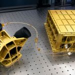
Star trackers are already common spacecraft instruments. Their traditional job is attitude determination, helping a spacecraft understand which direction it is pointing by comparing observed stars with a known celestial catalog.
FALCON extends the usefulness of that optical hardware by extracting information about transient objects appearing in the camera’s field of view.
That creates an attractive engineering proposition: sensors already required for spacecraft orientation could potentially contribute to absolute navigation and space-domain awareness as well.
For small satellites, where mass, electrical power and payload volume are tightly constrained, getting multiple functions from the same sensor package can be especially valuable.
NASA has previously demonstrated optical navigation with Starling through the Starling Formation-Flying Optical Experiment, or StarFOX. NASA’s 2026 Small Spacecraft Technology State of the Art report notes that StarFOX demonstrated angles-only relative navigation with position knowledge equivalent to roughly 0.5% of range, establishing an important technological foundation for further optical navigation experiments.
200 Orbits Improved in Three Days
FALCON’s usefulness extends beyond determining the observing spacecraft’s own location.
During a three-day experiment, the system processed observations and improved orbital estimates for more than 200 space objects without ground-operator intervention.
That makes the technology potentially relevant to two closely connected problems: spacecraft navigation and space traffic management.
A satellite observing surrounding objects can use them to estimate its own orbit while simultaneously generating new information about those objects.
This becomes increasingly valuable as low Earth orbit becomes more populated. More satellites and debris create additional collision risks, but in FALCON’s architecture they also provide more potential optical references for navigation and tracking.
Autonomous Space Traffic Tracking
This dual-use capability may ultimately be more important than the headline idea of simply “replacing GPS.”
An autonomous spacecraft capable of continuously observing nearby orbital traffic could help maintain a more current picture of its local environment without waiting for every tracking update to arrive from Earth.
That could support faster conjunction assessment and, when paired with autonomous maneuver-planning systems, eventually allow spacecraft to react to collision threats with significantly less ground intervention.
Starling has already served as a testbed for this broader concept. During an extended phase of the mission, NASA worked with SpaceX to demonstrate automated space traffic coordination between the four Starling CubeSats and the Starlink constellation.
FALCON therefore fits into a larger NASA strategy in which navigation, communications, sensing and maneuver planning increasingly move from centralized ground operations onto the spacecraft themselves.
Navigation Beyond Earth
The technology also addresses a fundamental limitation of conventional satellite navigation.
GPS and other GNSS constellations were primarily designed to serve users near Earth’s surface and in Earth orbit. Spacecraft traveling much farther away cannot assume that strong, geometrically useful navigation signals will always be available.
Future missions around the Moon, Mars and other destinations will therefore need alternative methods of autonomous position determination.
Optical navigation is one possible solution.
A future spacecraft could potentially combine observations of stars, planets, moons and artificial objects with inertial sensors and other navigation techniques to maintain its position even when conventional GNSS coverage is weak or unavailable.
FALCON is still an experimental technology, and navigating among objects in low Earth orbit is considerably different from navigating through deep space. But demonstrating autonomous catalog-based navigation in an operational spacecraft is an important step toward that broader objective.
Starling Swarm Navigation
NASA plans to push the concept further by allowing the four Starling spacecraft to exchange tracking observations and estimate their positions cooperatively.
That changes the architecture from an individual spacecraft observing its environment into a distributed sensor network.
Multiple viewing locations can improve orbital geometry, increase the number of objects available for observation and potentially reduce uncertainty compared with relying on one spacecraft alone.
This is exactly the type of problem Starling was created to explore.
The mission’s four CubeSats operate in low Earth orbit and were designed to demonstrate four core capabilities: swarm maneuver planning and execution, communications networking, relative navigation and autonomous coordination. The spacecraft are 6U CubeSats operating in a Sun-synchronous orbit more than 300 miles above Earth.
Why FALCON Matters
The most interesting part of FALCON is not that NASA has found a literal substitute for GPS.
It has not.
GPS remains extraordinarily efficient where its signals and geometry are available. Replacing it with camera observations, object identification and onboard orbital estimation would make little sense for many conventional missions.
The breakthrough is navigation resilience.
FALCON gives spacecraft another independent source of positioning information. More importantly, that source is based largely on the orbital environment surrounding the spacecraft rather than dedicated navigation infrastructure.
There is also an unusual technological feedback loop at work. The growing number of objects in orbit creates a serious space traffic problem, yet the same objects can become navigation references and sources of tracking data.
That could make systems such as FALCON increasingly useful as orbital activity expands.
The long-term opportunity is therefore bigger than GPS-independent navigation. A spacecraft capable of observing its surroundings, determining its own orbit, updating the trajectories of neighboring objects and exchanging that information with other spacecraft starts to resemble an autonomous participant in space traffic management rather than a vehicle waiting for instructions from Earth.
For large satellite constellations and future deep-space swarms, that distinction could be fundamental.
About NASA and Starling
The National Aeronautics and Space Administration, or NASA, is the U.S. civil space agency established in 1958.
Starling is managed through NASA’s Small Spacecraft & Distributed Systems program within the Space Technology Mission Directorate, with NASA’s Ames Research Center leading the project.
The mission uses four 6U CubeSats manufactured by Blue Canyon Technologies. The swarm launched aboard a Rocket Lab Electron from Launch Complex 1 in New Zealand on July 17, 2023.
Starling was originally conceived as a technology demonstration for autonomous spacecraft swarms. Its experimental portfolio has included autonomous maneuver planning, mesh communications, distributed decision-making and optical relative navigation.
After approximately 10 months in orbit, NASA reported that the swarm had successfully completed the key objectives of its primary mission, after which Starling continued operating as a platform for additional autonomous spacecraft experiments.
Source: www.nasa.gov