Who operates it
- MyRTKnet (Malaysia Real-Time Kinematic GNSS Network) is operated by the Department of Survey and Mapping Malaysia (JUPEM).
- It is the official national CORS infrastructure supporting Malaysia’s geodetic reference frame.
Availability & access
- Provides both free and subscription-based access, depending on service level.
- Real-time corrections are available via NTRIP, while RINEX data can be downloaded from JUPEM’s portal for post-processing.
Coverage & scale
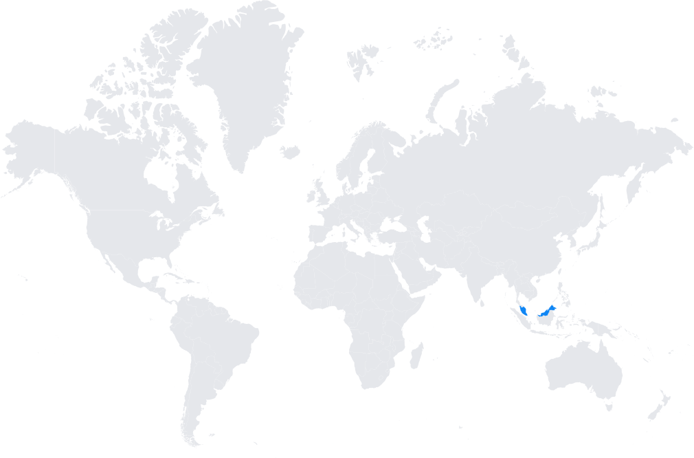
- Nationwide coverage with more than 80 CORS stations strategically distributed across Peninsular Malaysia, Sabah, and Sarawak.
- Integrated into regional and global reference systems, aligned with the International Terrestrial Reference Frame (ITRF).
Typical use cases
- Land and cadastral surveying.
- Engineering and infrastructure development projects requiring centimeter accuracy.
- Agricultural applications such as precision farming and plantation management.
- Scientific monitoring of tectonic motion, sea-level change, and atmospheric studies.
How it’s used in practice
- Surveyors and engineers connect GNSS rovers to MyRTKnet for real-time RTK corrections.
- Researchers download RINEX files for geodetic and geophysical studies.
Notes
- MyRTKnet plays a crucial role in modernizing Malaysia’s geospatial data infrastructure.
- It supports disaster management and environmental monitoring in a region prone to tectonic activity.
Coverage Map