Who operates it
- Muya CORS is a private commercial GNSS reference network established by Muya Surveys & Geospatial, a Kenyan geospatial services company.
- It provides RTK corrections to surveyors, engineers, and agricultural users across Kenya.
Availability & access
- The service is subscription-based, with different plans for individuals, companies, and institutions.
- Corrections are streamed via NTRIP, ensuring compatibility with most GNSS equipment.
Coverage & scale
- Coverage is expanding, with CORS stations installed across major cities and regions of Kenya.
- Designed to provide reliable centimeter-level accuracy in areas with growing demand for precise positioning.
Typical use cases
- Land surveying and property registration.
- Civil engineering and construction projects in urban and rural Kenya.
- Agricultural applications, including precision planting and land management.
- GIS mapping for local authorities, infrastructure development, and environmental monitoring.
How it’s used in practice
- GNSS rovers connect to Muya CORS streams through NTRIP for real-time RTK corrections.
- Data can also be logged and used in post-processing workflows for quality assurance.
Notes
- Muya CORS is one of the first commercial RTK networks in Kenya, filling a gap where national government-operated CORS infrastructure is limited.
- It helps modernize geospatial practices in East Africa, supporting both public and private sector projects.
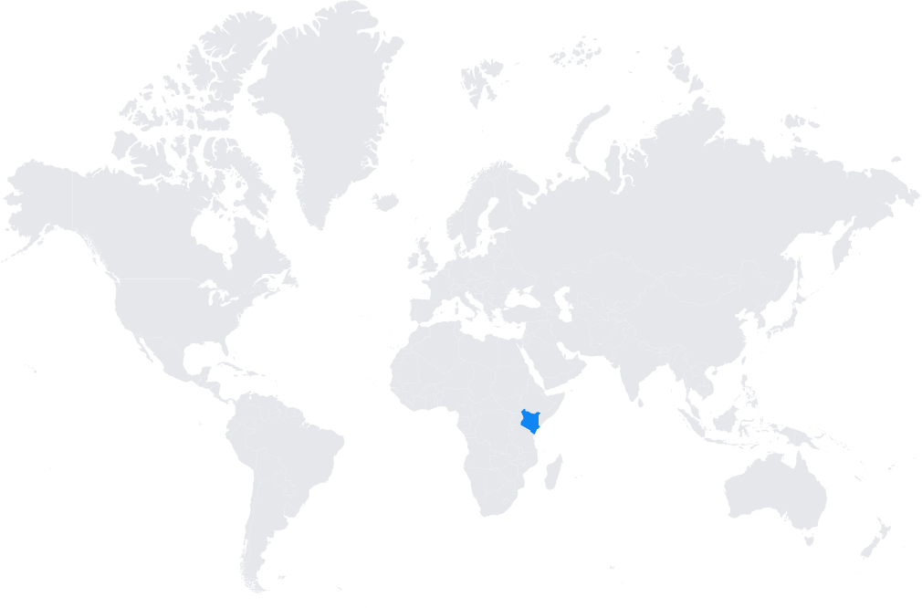
Coverage Map