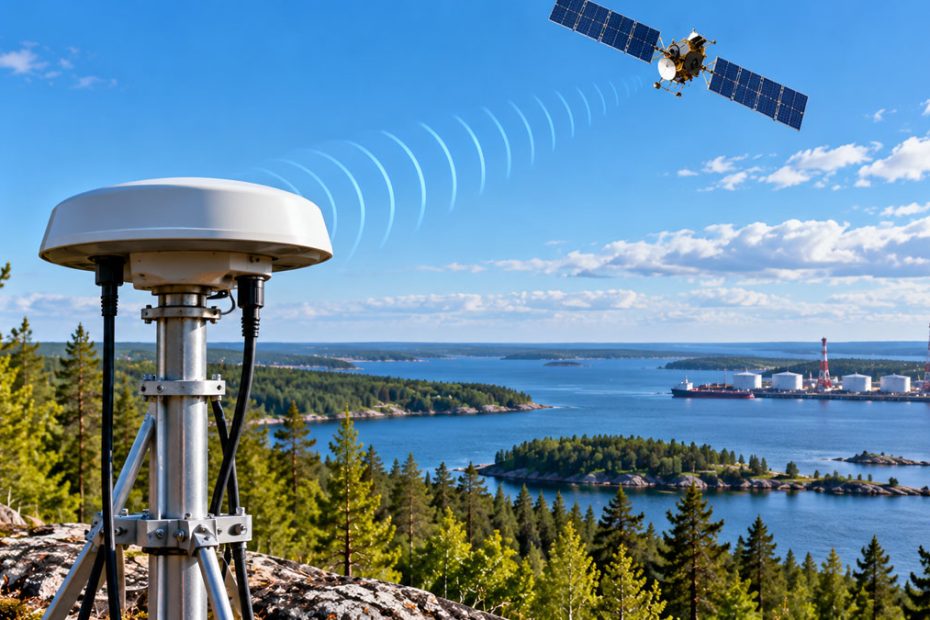
GNSS interference across the Baltic region has developed from occasional signal disruption into a persistent threat to satellite positioning infrastructure, according to new research presented at ION GNSS+ 2026. An analysis of approximately 10 terabytes of CORS observations from Estonia, Latvia, and Lithuania revealed severe differences in interference intensity, with some Estonian reference stations experiencing prolonged signal loss throughout 2025.
The findings, presented by Johan Juul of Tallinn University of Technology (TalTech), provide ground-based evidence of how GNSS interference evolves near Russia’s western border. Unlike aviation reports, which primarily document disruptions affecting aircraft, the research examines continuous measurements from fixed GNSS reference stations, allowing investigators to identify changes in signal quality, outage frequency, and geographic distribution.
Estonian CORS Stations Record Severe GNSS Disruption
Researchers analyzed observations collected between 2023 and 2025 using a long short-term memory (LSTM) autoencoder, a machine learning model designed to identify unusual patterns in time-series data.
The most significant degradation occurred at two Estonian GNSS reference stations, NJO1 and TOIL, located relatively close to the Russian Kingisepp and Ust-Luga area.
At NJO1, the carrier-to-noise density ratio (C/N0) declined from approximately 48 to 50 dB-Hz under normal conditions to 30 to 35 dB-Hz during periods of interference. This represents a substantial reduction in received signal quality, increasing the risk of tracking interruptions and unreliable carrier-phase observations.
During 2025, NJO1 registered 51 complete outages and 130 signal depression events. The neighboring TOIL station recorded 97 outages before its observation data became unavailable.
These measurements indicate that interference affecting northeastern Estonia was no longer limited to isolated events. Instead, the researchers documented a transition toward sustained GNSS degradation capable of disrupting positioning services for extended periods.
GNSS Blackouts Coincide With Drone Strikes
Several interference episodes overlapped with significant military events in the region.
During a Ukrainian drone attack targeting the Ust-Luga gas complex in August 2025, the NJO1 station experienced receiver denial during 97.7% of a 72-hour observation period. Both L1 and L2 frequency bands were affected, indicating that the disruption was not confined to a single GNSS frequency.
Another notable episode occurred in March 2026, when a drone strike near Auvere coincided with a synchronized nine-hour GNSS blackout at NJO1 and TOIL.
The simultaneous disruption suggests that the interference environment may have changed through increased transmitter power, different emitter locations, or the activation of additional interference sources.
However, the timing of these events does not independently establish the exact source or operational purpose of the interference. Identifying individual transmitters requires additional evidence, potentially including direction finding, spectrum measurements, and coordinated monitoring across multiple locations.
Lithuania Shows Lower GNSS Interference Levels
The analysis also identified substantial geographic differences in GNSS signal degradation.
While northeastern Estonia experienced repeated and sometimes prolonged interruptions, Lithuania’s LitPOS reference network demonstrated considerably more stable signal conditions.
Observed C/N0 levels at Lithuanian stations generally remained around 43 to 44 dB-Hz, and reported outages typically lasted hours rather than days.
Researchers attributed part of this difference to geography. Lithuanian reference stations were farther from the suspected interference sources and generally lacked the same direct radio line-of-sight conditions affecting stations in Estonia.
Atmospheric propagation may also explain certain intermittent disturbances. Tropospheric ducting can allow radio signals to travel beyond their usual coverage areas, potentially exposing distant GNSS receivers to interference under specific weather conditions.
Interestingly, five Lithuanian stations monitored during the Russian-Belarusian Zapad 2025 military exercise showed no significant signal degradation, despite the exercise’s electronic warfare component. This reinforces the importance of direct measurements rather than assuming that military activity automatically produces detectable GNSS interference at every nearby monitoring site.
What GNSS Jamming Means for RTK Networks
The research raises an important operational question for CORS operators and users of network RTK services.
CORS infrastructure relies on continuous, high-quality satellite observations to generate correction data. When interference reduces the number of tracked satellites, damages carrier-phase measurements, or interrupts receiver operation, the consequences can extend beyond an individual reference station.
Depending on network architecture and redundancy, degraded station observations may reduce correction quality, complicate ambiguity resolution, or cause temporary interruptions to RTK FIX availability.
For surveyors, agricultural guidance systems, machine control equipment, and other centimeter-level positioning applications, these disturbances can directly affect field operations.
However, interference at a CORS station does not automatically mean every rover within its service area loses positioning. Network processing software can sometimes compensate by excluding affected stations and relying on other reference receivers. The outcome depends on station spacing, available observations, network geometry, and the extent of the interference.
CORS Networks Could Become GNSS Interference Sensors
The most important implication of this research extends beyond the Baltic security situation.
Existing CORS networks could provide a valuable distributed monitoring system for detecting and characterizing GNSS interference without requiring an entirely new network of dedicated sensors.
Reference stations already collect continuous measurements across multiple satellite constellations and frequencies. Their fixed locations also make it possible to compare signal conditions over time and identify geographically correlated anomalies.
This creates an opportunity for network operators to integrate automated interference monitoring directly into routine infrastructure management.
In practical terms, monitoring should extend beyond basic receiver uptime. Satellite-specific C/N0 trends, loss-of-lock indicators, cycle slips, observation availability, and simultaneous degradation across neighboring stations could provide earlier warnings of deteriorating positioning conditions.
Machine learning offers a useful method for identifying anomalies across large datasets, but it should complement conventional signal analysis rather than replace it. A declining C/N0 value alone cannot conclusively distinguish deliberate jamming from antenna problems, receiver faults, multipath effects, or other environmental influences.
A particularly valuable next step would be combining CORS observations with independent RF spectrum monitoring and publishing standardized regional interference indicators.
For RTK service providers, this could support a transition from simply reporting whether corrections are available to documenting the actual quality and reliability of the underlying GNSS environment.
The Baltic findings demonstrate why this distinction matters. A correction service may remain operational at the network level while individual reference stations experience substantial signal degradation. Understanding that difference will become increasingly important for maintaining dependable high-precision positioning infrastructure.
About Tallinn University of Technology
Tallinn University of Technology (TalTech) is an Estonian public research university founded on September 17, 1918. Based in Tallinn, it specializes in engineering, information technology, applied sciences, and related technical disciplines.
According to its 2026 admissions information, TalTech has approximately 9,929 students, with international students representing 8.4% of enrollment. The university operates four schools and the Estonian Maritime Academy and conducts research across engineering, digital technologies, and advanced infrastructure systems.
Its researchers’ analysis of approximately 10 TB of Baltic CORS observations illustrates the growing importance of scientific GNSS monitoring for both civilian positioning systems and infrastructure resilience.