Who operates it
- REGME (Red Geodésica de Monitoreo Continuo del Ecuador) is operated by the Instituto Geográfico Militar (IGM) of Ecuador.
- It is the official national GNSS CORS network supporting Ecuador’s geodetic reference system.
Availability & access
- REGME provides access to GNSS data and correction services primarily for government, professional, and academic users.
- RINEX data can be downloaded for post-processing, while real-time correction services are offered through registered access.
Coverage & scale
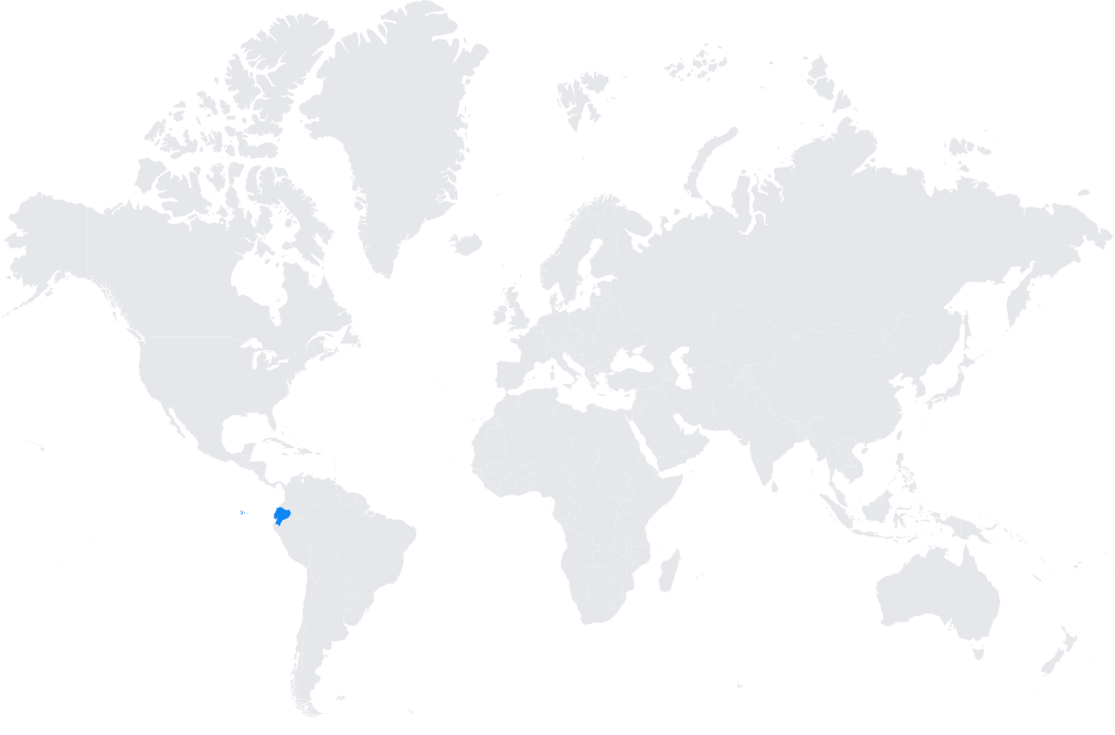
- The network consists of reference stations strategically distributed across Ecuador, including the highlands, coastal areas, and Amazon region.
- It contributes data to continental and global initiatives such as SIRGAS and the International GNSS Service (IGS).
Typical use cases
- National mapping, land surveying, and cadastre.
- Infrastructure and engineering projects requiring centimeter-level precision.
- Scientific research in geodynamics, volcano monitoring, and tectonic activity along the Andes.
- Agricultural and environmental monitoring applications.
How it’s used in practice
- Surveyors connect GNSS rovers to the REGME system for real-time RTK corrections.
- Researchers and engineers download RINEX data for geodetic and scientific analyses.
Notes
REGME plays a key role in maintaining Ecuador’s geodetic reference frame and monitoring tectonic plate motion in one of the world’s most seismically active regions.
Coverage Map