Who operates it
- LatPos is operated by the Latvian Geospatial Information Agency (LGIA), the national authority responsible for mapping and geodesy.
- It is the official national CORS network of Latvia.
Availability & access
- The service is free of charge, providing both real-time corrections and RINEX data.
- Access is available to surveyors, engineers, universities, and other professional or research users.
Coverage & scale
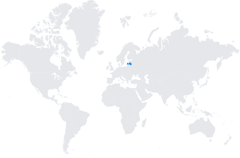
- LatPos covers the entire territory of Latvia with a well-distributed grid of reference stations.
- Integrated into the EUPOS (European Position Determination System) framework and aligned with the ETRS89 reference frame.
Typical use cases
- Cadastral surveying and property registration.
- Infrastructure and construction projects needing centimeter-level accuracy.
- Agricultural applications, including precision farming and machine guidance.
- Scientific research, including geodynamics and environmental monitoring.
How it’s used in practice
- Surveyors connect GNSS rovers to the LatPos NTRIP service for real-time RTK corrections.
- Researchers and engineers download RINEX files for static and kinematic post-processing.
Notes
- LatPos is known for its reliability and accessibility, being one of the few free national CORS networks in Europe.
- It plays a crucial role in ensuring geodetic consistency across the Baltic region.
Coverage Map