Who operates it
- CZEPOS (Czech Positioning Service) is operated by the Czech Office for Surveying, Mapping and Cadastre (ČÚZK).
- It is the official national CORS network of the Czech Republic.
Availability & access
- CZEPOS is a paid subscription service for real-time GNSS corrections.
- Registered users can also download RINEX data from the CZEPOS portal for post-processing.
Coverage & scale
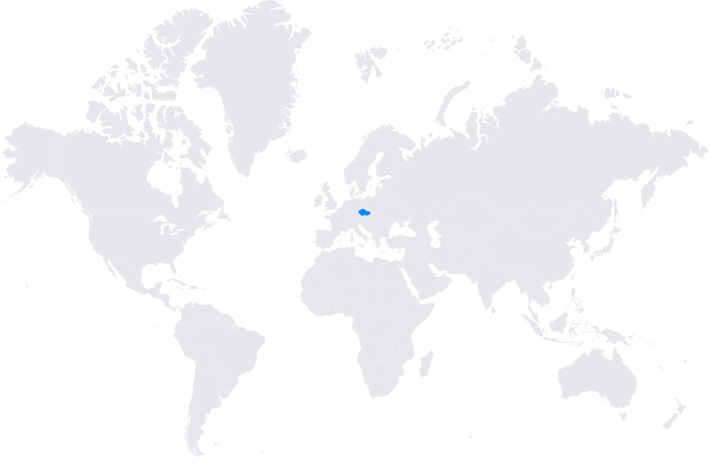
- The network covers the entire territory of the Czech Republic with a dense grid of reference stations.
- It is integrated into the European Position Determination System (EUPOS) and aligned with the European Terrestrial Reference Frame (ETRF).
Typical use cases
- Cadastral and land surveying with centimeter-level accuracy.
- Engineering and construction projects requiring precise georeferencing.
- GIS applications for municipal and infrastructure planning.
- Support for agriculture and environmental monitoring.
How it’s used in practice
- GNSS rovers and professional equipment connect via NTRIP for RTK corrections.
- Post-processing users rely on high-quality RINEX files for geodetic and geophysical studies.
Notes
- CZEPOS is widely used by both public and private sectors in the Czech Republic.
- It ensures uniform positioning across the country and supports the modernization of geospatial data.
Coverage Map